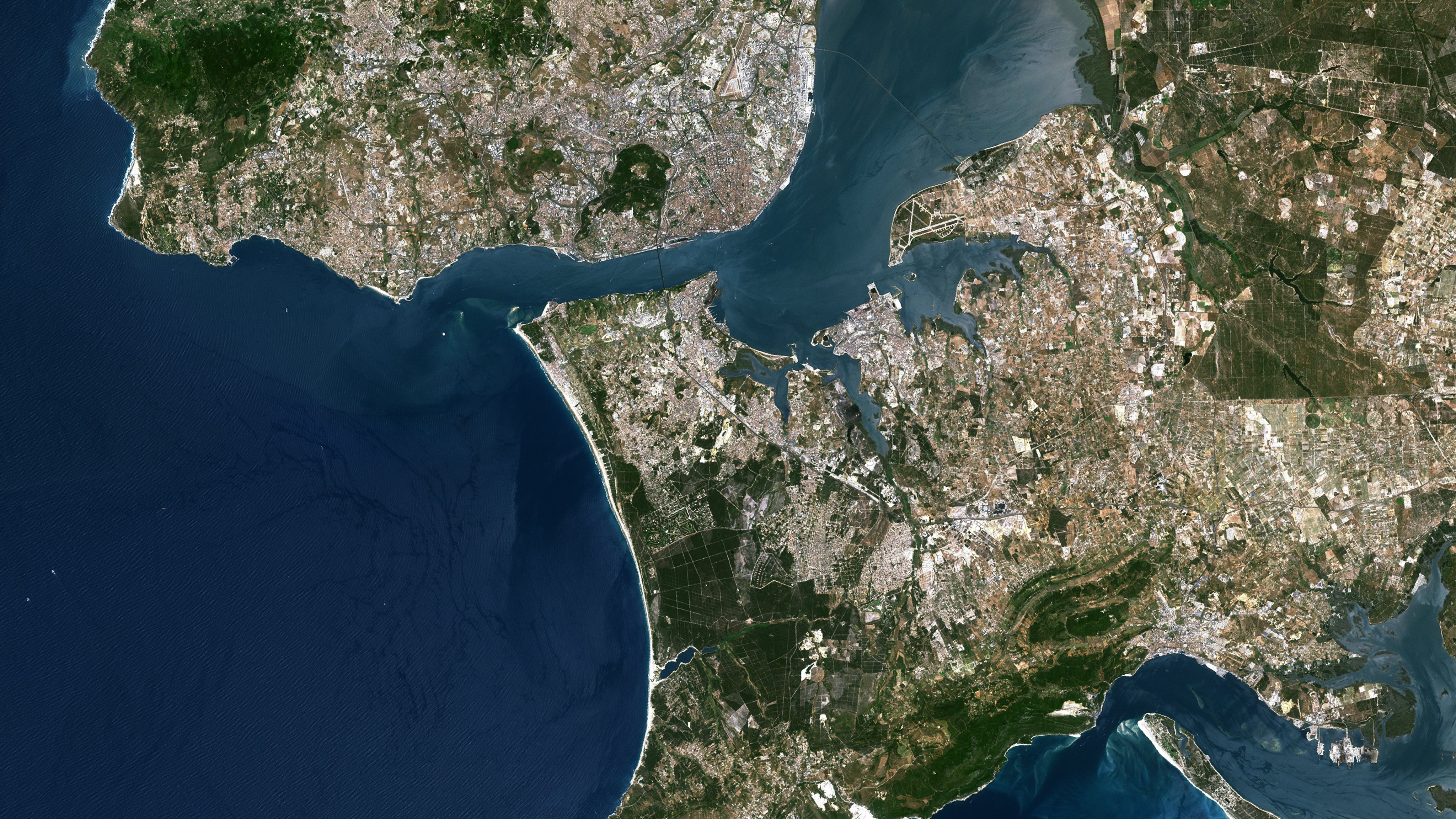
A platform available for free on the internet will provide real-time information on land use, which can be used to fight fires or to develop land use plans, it was presented this Thursday.
The presentation of the Land Occupation Monitoring System (SMOS) took place at the headquarters of the General Directorate of the Territory (DGT), in a session that was initially going to be chaired by the Minister of Territorial Cohesion, Ana Abrunhosa, but which She was replaced by the Secretary of State for Local Administration and Territory Planning, Carlos Miguel.
At stake, as the promoters explained in the session, “an innovative system that produces and makes available, free of charge, cartographic information for monitoring the territory, based on space technologies and artificial intelligence”.
As they explained, this tool aims to “support the activities of the Public Administration, universities, the private sector and the community in general”helping in areas such as land use planning, agriculture, forestry, water resources and civil protection.
At the end of the session, in statements to the Lusa agency, the Secretary of State for Local Administration and Territorial Planning, Carlos Miguel, said that it is “an extremely important tool” for preparing the census and for “better understanding the territorial dynamics and standardize cartographies”.
“It presents very innovative solutions in terms of resolution and ability to read the territory. Those who deal with these matters, until now, depending on the organisms, found a different letter and with different scales. It was a real puzzle.”
With SMOS, explained the official, technicians and decision makers now have “more information and uniformity”.
“It provides much more information than we had until today, in instruments similar to this one. It serves to fight fires, to order the territory, for planning, for the PDM (Municipal Master Plan) and to see the evolution that this same territory has over time, over the years, ”he explained.
In the same sense, also in statements to Lusa, the general director of the Territory, Fernanda do Carmo, highlighted the importance of this tool, pointing out that the objective is that it be “continually improved”.
It will provide highly specialized information and may have general or specialized applications, in which each entity, in its area of competence and knowledge, will explore and apply in its area”, he pointed out.
The director of the DGT has indicated that the planned investment to develop the SMOS is around 28 million euros, until 2025, being financed from the Recovery and Resilience Plan (PRR).
In the final version of the PRR, delivered to the European Commission on April 22, 2021, the Government defined an investment of 615 million euros for the Bosques axis, of which 86 million euros for the registration of rural property and for the tracking system. of land occupation and 120 million euros for the fuel management bands in the primary network, which includes the “promotion on the BUPi platform of the georeferenced graphic representation procedure of the rustic buildings included in the constitution of the administrative easement with the purpose of to make effective the subsequent special registration procedures”.
SMOS information is available through the Internet address smos.dgteritorio.gov.pt.
Source: Observadora
