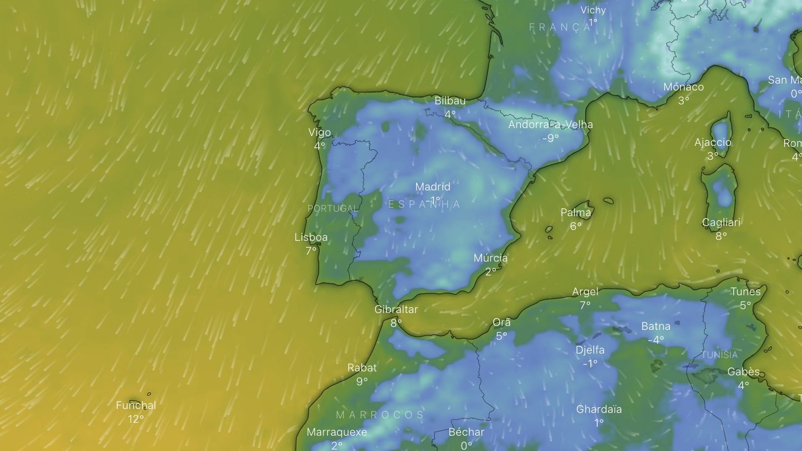
Don’t be fooled by the slight rise in temperatures forecast by meteorologists for the next few days: the polar cold will return this weekend. And “there really is no end in sight for the cold” that has been recorded in mainland Portugal in recent days, meteorologists from the Portuguese Institute of the Sea and Atmosphere (IPMA) confirmed to the Observer: “Yellow warnings will return next week.”
With the exception of the districts of Bragança and Guarda, where cold warnings will be maintained until at least six in the morning on Saturday, The alerts that the IPMA has announced in recent days will cease until the 28th. The increase in temperature will not be expressive —just 1ºC to 2ºC—, but it is enough for the records to fall below the criteria necessary to issue more alerts.
This is due to the passage of a warmer air mass, which has even allowed meteorologists to lift yellow cold warnings on Wednesday in the districts of Lisbon and Setúbal. Starting tomorrow it will be like this in almost the entire country. However, there will be another disappointment: warmer air is also more humid. And it will rain.
Nothing indicates a repeat of the floods that occurred in some areas of the country, including the capital, in mid-December. Also because it will be a short-lived rain: the anticyclone that parked in the west of Ireland, over the Atlantic Ocean, a mass of very cold air coming from the northeast will once again sweep over the Iberian Peninsulaenters the European continent and arrives in Portugal after arriving in Spain.
From the 28th it will stop raining because this the air that comes from the north pole is drier— but the cold, that, returns to the country without a date of disappearance. The yellow warnings with which meteorologists have painted the map of Portugal will return at least until the end of next week. From there, it is still early to know what to expect from the weather. But, at this moment, nothing indicates that the mercury of the thermometers rises again.
Source: Observadora
