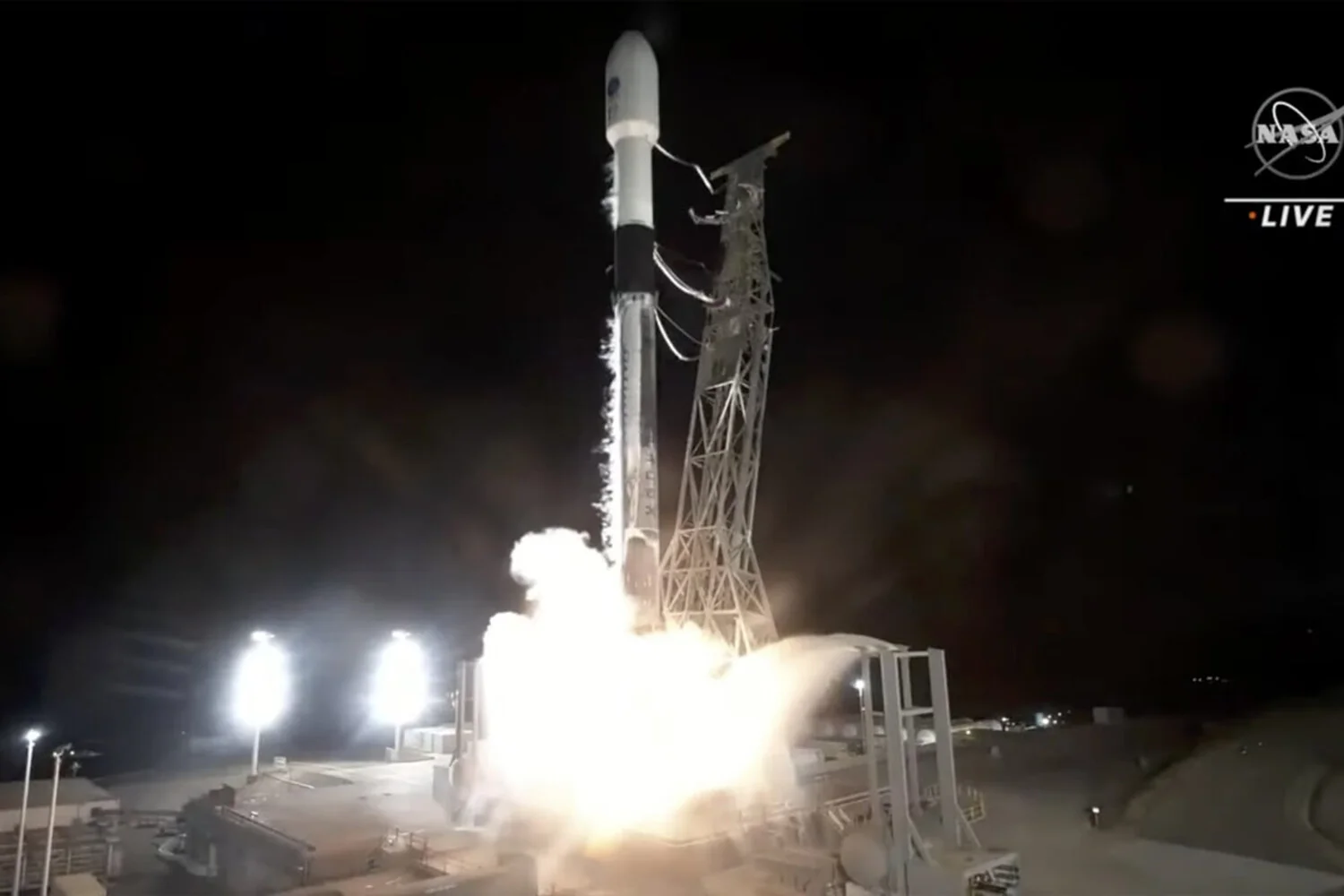
In the USA, the SWOT satellite was launched to study the Earth’s hydrosphere. This was reported by NASA.
SWOT stands for “Surface Water and Ocean Topography”. The task of this device is to map all oceans, lakes and rivers in the world with high accuracy. The car-sized satellite will measure sea level over more than 90% of Earth’s surface, allowing scientists to monitor nature’s water cycle. It also explores millions of lakes and 2.1 million kilometers of rivers from source to mouth. Radar will be the main tool for this. It will need to distinguish between currents and eddies less than 21 km in diameter, as well as regions of the ocean where waters of different temperatures meet. In addition, it is important for scientists to understand the movement of coastlines and the rate at which the water level rises in different regions. This will make it possible to build more reliable models for predicting floods and droughts.
According to scientists, the device is needed more than ever as climate change exacerbates droughts, floods and coastal erosion. The launch was carried out with a Falcon 9 rocket from Vandenberg Air Force Base.
Source: Port Altele
