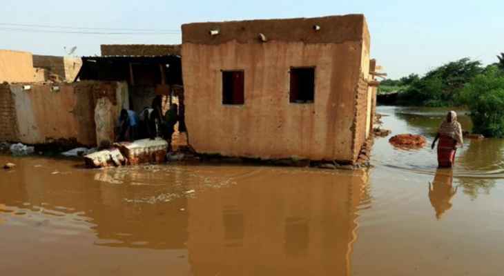
The Sudanese authorities announced: “The Dinder River has reached a heightened stage of danger due to rising water levels and flooding of more than 200 villages in the Dindera region and the destruction of hundreds of acres of agricultural land.”
Sennar’s appointed wali, Ibrahim Al-Nour, explained in his statements that “dozens of other villages located east of the Dinder River were affected by flooding, the waters of which besieged the main eastern road connecting over 200 villages through the waters.” from Khor Wad al-Hassan”, emphasizing that “the increase in the level of rising floods puts the area in a critical state.”
He pointed out that “preliminary statistics so far indicate the complete and partial destruction of 1,880 houses and the destruction of a large number of corn and sesame farms,” urging citizens on the banks of the Dinder River to exercise the highest degree of caution, as the river is still under flood.
It is noteworthy that the height of the Dinder River, according to official statistics, this morning was 14.60 meters, which is 8 centimeters higher than yesterday’s level.
The Dinder River is considered a seasonal river and one of the sources of the Blue Nile. It penetrates into Ethiopia and Sudan for 480 km. It flows in the Ethiopian highlands towards the Sudanese lands. Overflows every year in Sennar State, South Sudan. which resulted in heavy losses.
Source: El Nashra
